Hinatasawa-toge「日向沢の峠」 MTB circuit (76km, 1680m climb, 6hr)
Category: Road: 49km, Dirt: 25.25km, Hike trail: 1.75km
Route: Ome, Okutama, Nippara kaido, Hinatasawa-sen, Arima toge, Yuumoto rindo, Naguri onsen, Osawa tunnel, Nariki, Osogi kaido, Ome.
Map:
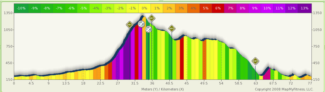
Profile:
Notes:
...
Point info (Times are for a fast cyclist/trail runner)
Times include all stops.
| Location | km | Altitude | hr from start | Note |
| Ome ststion | 0 | 200m | ||
| Okutama | 20.4 | 336m | 0hr50 | |
| Hinatasawa rindo turn | 24.6 | 437m | 1hr10 | |
| Dirt road start | 29.9 | 1000m | 2hr | |
| Odoridaira tunnel | 32.9 | 1178m | 2hr20 | Start hike trail |
| Hinatasawa-toge | 33.6 | 1356m | 3hr | |
| Dirt road join | 34.7 | 1145m | 3hr40 | End hike trail |
| Arima-toge | 35.7 | 1150m | 3hr45 | End dirt road |
| Yuumoto rindo turn | 41.2 | 980m | 4hr | Dirt road 2 start |
| Dirt road 2 end | 62.5 | 385m | 5hr15 | |
| Naguri onsen | 63 | 256m | ||
| Kosawa-toge | 66.2 | 364m | 5hr30 | Kosawa tunnel |
| Ome station | 76 | 200m | 6hr |
Report:
2008/11/23 (Sun)
Left home @ 9:30am
................TBA................
Back home @15:30
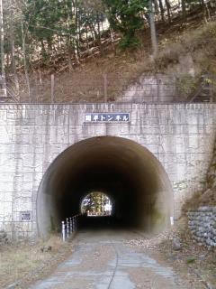
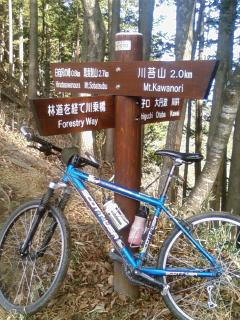
Odoridaira tunnel
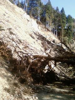
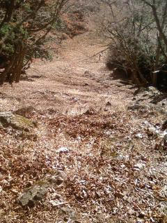
Landslide just beyond tunnel - impassable even on foot
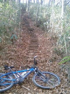
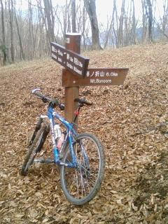
hike trail directly over Odoridaira tunnel
Just ascended this steep section of the hike trail
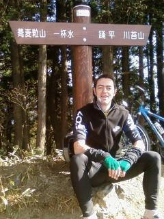
The top - Hinatasawa toge 1356m
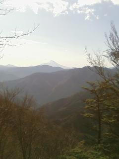
Fuji visible from top
On the descent - stick left here towards Sobatsubu yama
Same as above from different angle
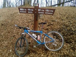
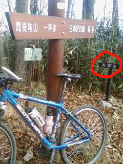
Need to turn off here following the sign for Arima yama as highlighted
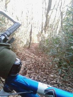
The route is very steep in sections here
Just came down these steps