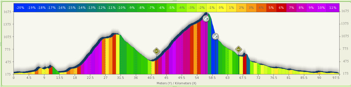
Nanahane MTB circuit (97.5km, 2500m climb, 7.5hr) 「七羽山」
Category: Road: 73.95km, Dirt: 20.75km, Hike trail: 2.8km
Route: Ome, Nariki, Naguri, Arima dam, Arima-toge, Tenmoku rindo, Nanahane yama, Nanahane shoulder, Ogawatani rindo, Nippara, Okutame, Ome
Map:
Elevation:
Notes:
This route needs to be done anti-clockwise.
The start of the hike trail climb section is very steep and the trail is not
very clear. However, after descending onto the prefecture border ridge, the trail is
good. Most of the trail descent can be done on MTB - the surface is very smooth
and it's all downhill. There are many sharp
switchbacks requiring stoppage at the corners but you can still descend with
similar time to a moderate running speed taking about 30 mins. A fast trail
runner can descend in just 20 mins.
There may be an easier route from Tenmoku rindo up onto the prefecture border
ridge, but not evident without further investigation. The mapped route is marked
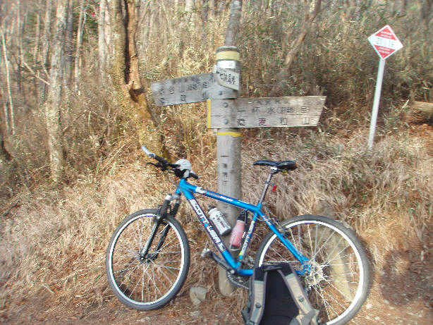
on the Okutama hiking map and starts at the first peak on Tenmoku rindo so is
easy to locate (see photo below with red marker at trail start).
If you continue on Tenmoku rindo (beyondthe Nanahane yama trail start) after about 200m you reach a
switchback with an excellent view of Chichibu town and area.
The Okutama hiking map which I have (1995 version) incorrectly shows Nanahane
shoulder as Gonba shoulder causing some confusion - Nanahane shoulder is the one
which descends from Nanahane yama almost directly South, joining Ogawatani rindo
higher up than Gonba shoulder.
The trail along the prefecture border ridge from Nanahane yama to Toridani yama
is pretty good and has many relatively flat sections with very low elevation but
the alternative descent from Toridani yama along the river is definitely not
suitable for MTB with many steep muddy and steep rocky sections as well as much
climbing involved in the descent - Nanahane shoulder seems to be by far the best
option down to Nippara.
In order to make a circuit (instead of returning on the same first 6km), you can
return from Kosawa tunnel via Fukiage toge along the same outward route as the
Hinatasawa-toge circuit.
- in retrospect I should have used data from this route above but unfortunately
it is not possible to update without mapping all the points again from the start
- there is almost no difference in times and about 1km shorter for Fukiage-toge
option!
Point info (Times are for a fast cyclist/trail runner)
Times don't include stops or sections off-circuit such as continuing on Tenmoku rindo beyond the top and back again.
Actual total time was 8hr15.
| Location | km | Altitude | hr from start | Note |
| Ome station | 0 | 200m | 0hr | |
| Kosawa-toge | 11.5 | 364m | 0hr30 | Kosawa tunnel |
| Arima fishing reception | 20.2 | 405m | 1hr05 | |
| Arima-toge | 30.7 | 1150m | 2hr05 | |
| Tenmoku rindo start | 41.7 | 450m | 2hr25 | |
| Dirt road start | 42.7 | 510m | 2hr30 | |
| Hike trail start | 57.5 | 1540m | 4hr40 | Tenmoku rindo peak 1 |
| Nanahane yama | 58.3 | 1651m | 5hr20 | |
| Hike trail end | 60.3 | 1100m | 6hr | Ogawatani rindo join |
| Dirt road end | 66.3 | 700m | 6hr20 | Nippara caves |
| Nippara bus stop | 68.6 | 620m | 6hr25 | |
| Okutama | 77.1 | 336m | 6hr50 | |
| Ome station | 97.5 | 200m | 7hr30 |
Report:
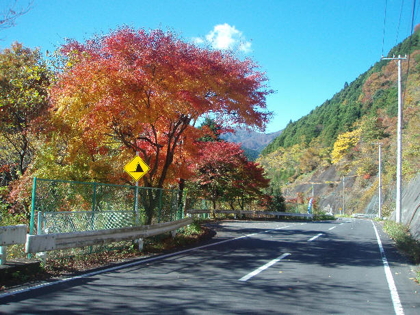
2008/11/19 (Wed)
Left home @ 9:30am
Stopped @ Miyanohira 7/11 to get onigiri & bread.
................TBA................
Back home @17:45
Beside Arima dam
On the climb to Arima toge
Looking back down the climb
10km mark on Tenmoku rindo, 1175m (~1hr15 climb on Tenmoku rindo)
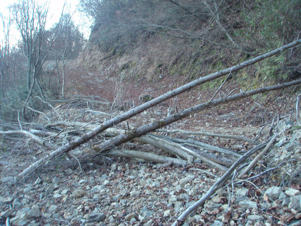
Some obstacles on the route.
The road condition deteriorates after passing road works just before the 12.5km
mark.
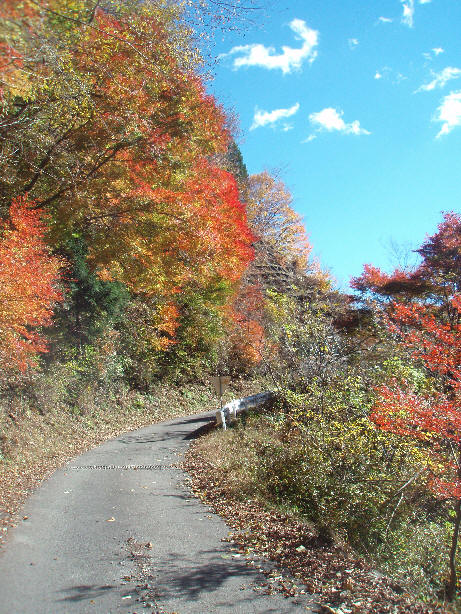
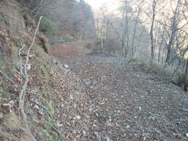
Carpet of leaves
Landslide
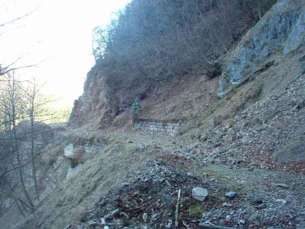
14km mark
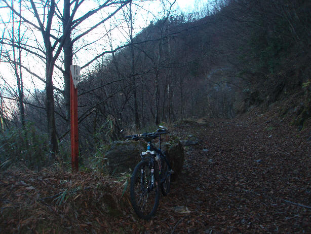
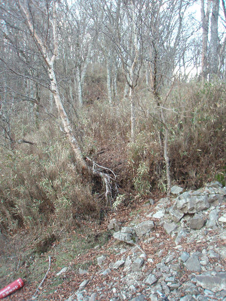
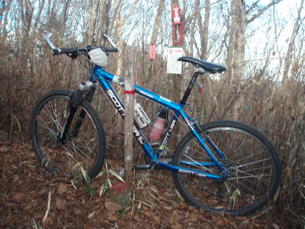
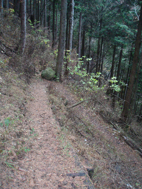
Start of trail to Nanahane yama
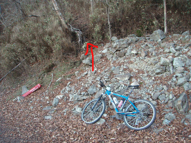
Same as above from another angle
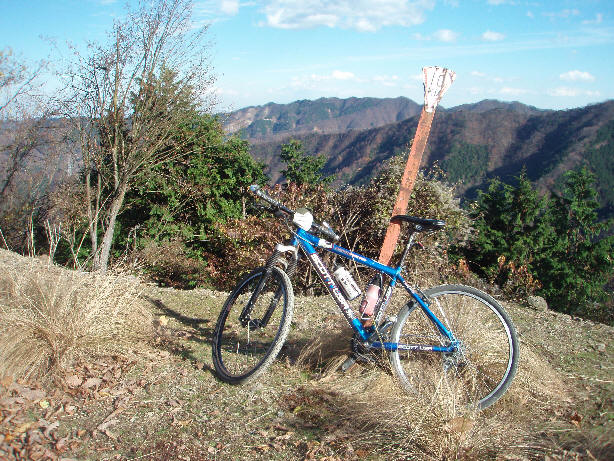
Nanahane yama top 1651m
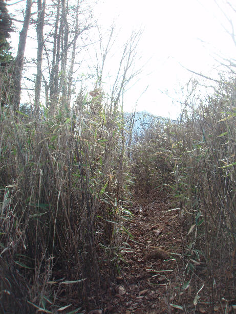
Shot of the descent, taken from the top of Nanahane..
The turn for Nanahane ridge
Switchback on Nanahane shoulder descent
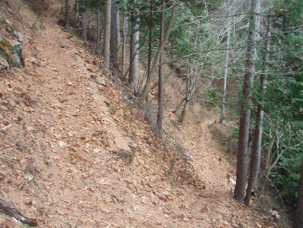
And another - there are about 35 more like these!
Ogawatani rindo - junction for Toritani yama
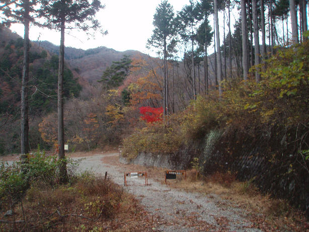
Ogawatani rindo - starting to get dark
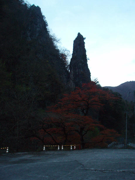
Near the dirt road end
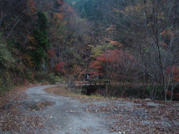
Made it to Nippara caves before dark.
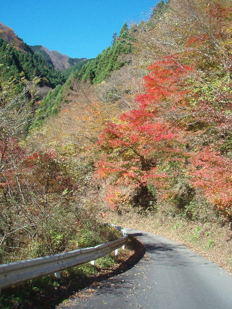
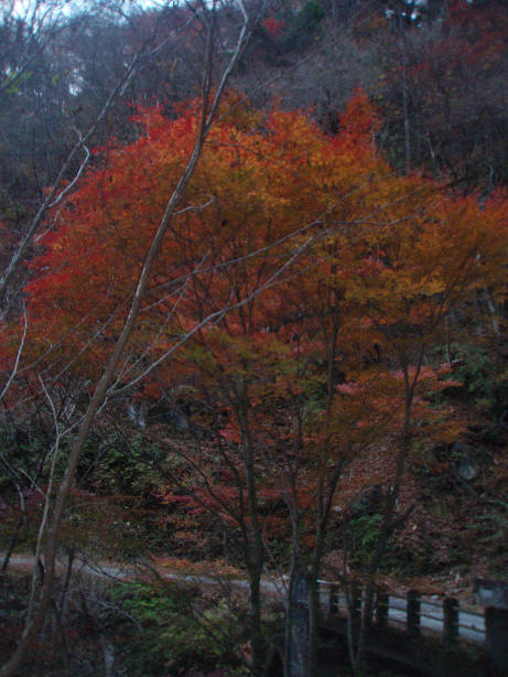
The red leaves of the tree in foreground are spectacular - not clear from photo.