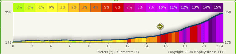
Manai rindo 「真名井林道」 MTB hill climb (22.4km, 756m climb, 2hr) from Ome
The descent is not included in above time. It takes 1hr down. The road is
open to traffic but is deserted. Vehicles cannot get by the avalanche half way
up the dirt road anyway.
The last 3.4km is very tough as the road condition is bad and the incline is steep.
To make this a circuit instead, you can return by hike trail via Mt Akaguna. see
Akaguna MTB circuit for details.
Category: Road: 15.6km, Dirt: 6.8km
Route: Ome, Kawai, Otaba, Manai rindo
Map:
Profile:
Notes:
There are a few paved sections in between dirt road on the steeper sections,
including the last 300m which is a surprise after passing some very rough road.
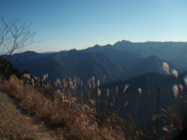
At the road top you can join the Kori-Kawanori hike trail. Take a left and cycle
about 200m towards Akaguna peak for a good view of Mt. Otake across the Tama
river.
You descend via the hike trail to Kori or Kawai but you will have to carry your
bike on at least 2 sections, and may meet some hikers along the way - see
Akaguna MTB circuit for details of this descent.
Photos:
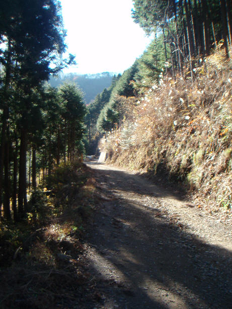
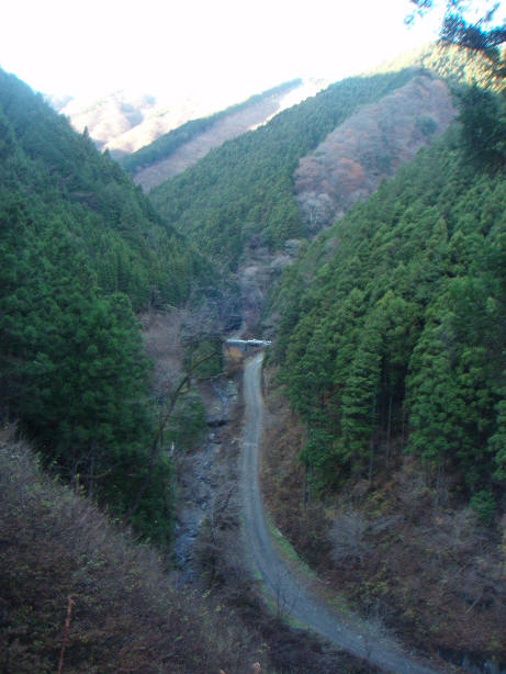
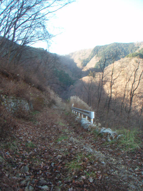
Manai rindo dirt road
Looking back down the road - after crossing the river, you climb up
horizontally to the road below giving a good view.
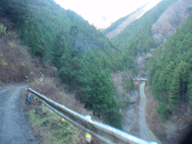
Another view from same point
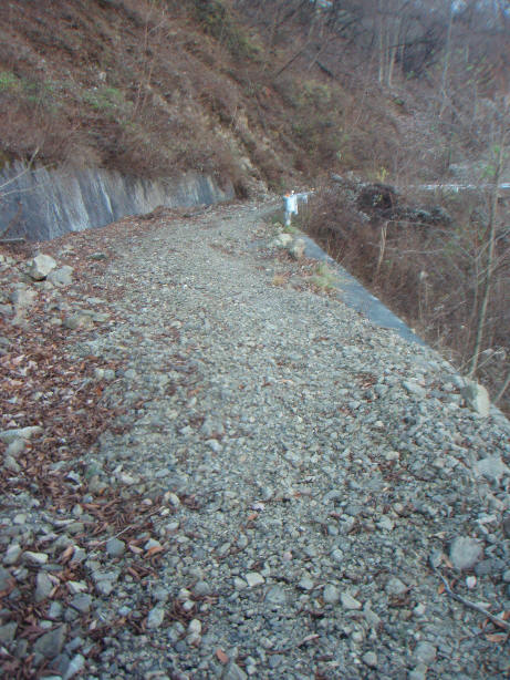
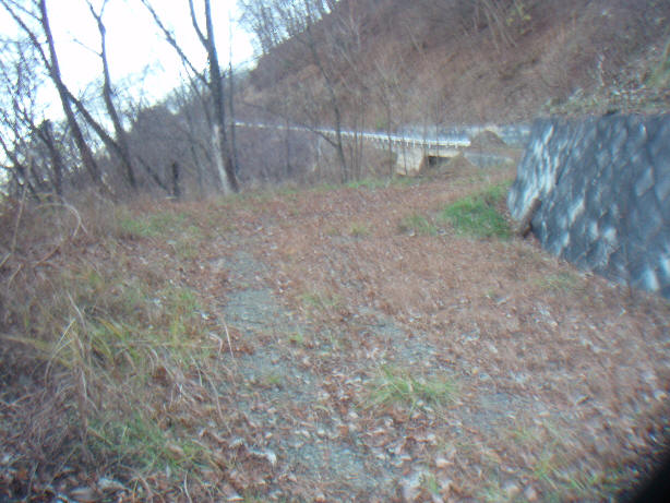
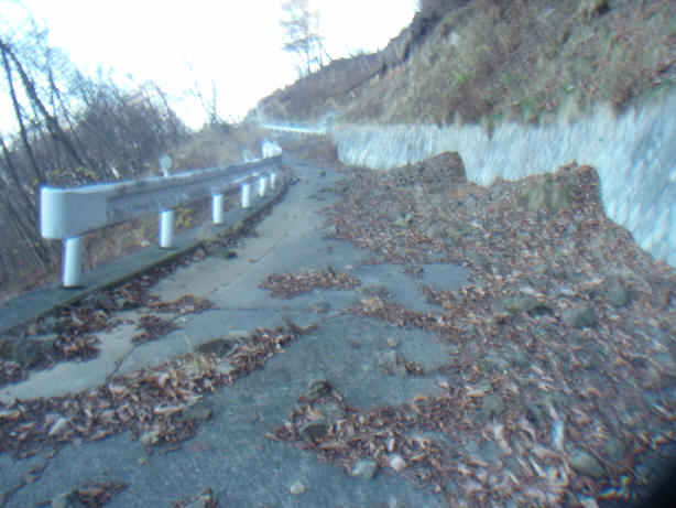
Road works at about 500m point - the road deteriorates considerably from here
It becomes rather stony in parts
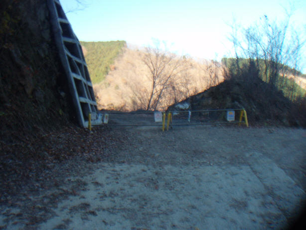
And some avalanches block the road
However, the road does continue and offers good views of Mt. Kawanori
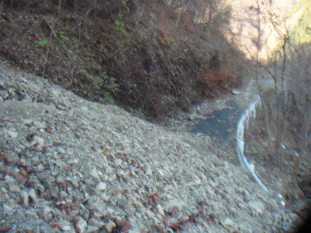
Up and up over a mixture of gravel, rocks and paved road
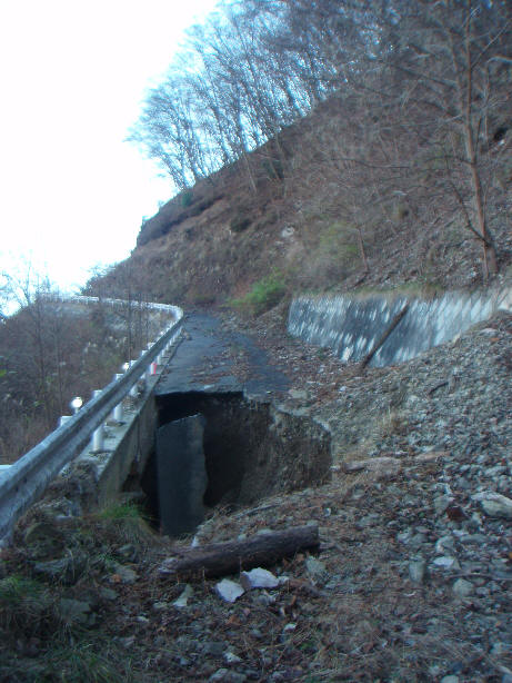
A massive hole appears in the road - I don't expect to see any vehicles
including bikes beyond this point
(actually I don't expect to see anybody up here anyway, even on a Sunday!)
You can find a path through a lot of the stones
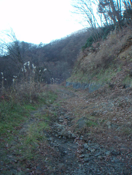
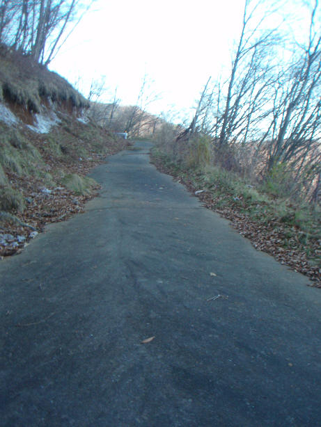
And then the paved road appears again
The last 200m is in excellent condition, but steep!
The hike trail is easier to cycle than a lot of the dirt road sections!
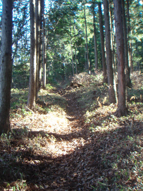
About 200m on the hike trail towards Mt Akaguna, you get good views across
the valley to Mt. Otake