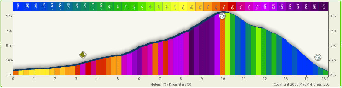
Mt. Akaguna 「赤杭」 MTB circuit (15.1km, 750m climb, 2.5hr) from Kawai
If you don't mind carrying your bike over a few sections and can manage the hill climb okay, this is a very good circuit.
Category: Road: 4.9km, Dirt: 6.7km, Hike trail 4.5km
Route: Kawai, Otaba, Manai rindo, Akaguna, Kawai
Map:
Profile:
Notes:
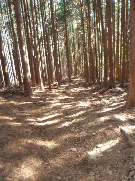
The dirt road up is
open to traffic but is deserted. Vehicles cannot get by the avalanche half way
up the dirt road anyway.
The last 3.4km is very tough as the road condition is bad and the incline is steep.
There are a few paved sections on the dirt road on the steeper sections,
including the last 300m which is a surprise after passing some very rough road.
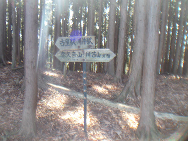
At the road top join the Kawanori hike trail and take a left towards Akaguna peak.
The hike trail from Akaguna to Kori/Kawai is not so crowded as there are a few
other routes to reach Kawanori.
There are only a few steep sections where you will not be able to cycle, and
very little climbing required - these ascents can be cycled.
After 200m on the hike trail, you get a good view of Mt. Otake across the Tama
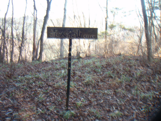
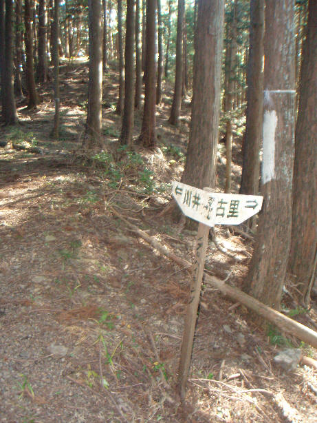
river and of the Honnita-Kawanori ridge. A little bit further there's a sign for
Mt. Akaguna. You can cycle 110m up a gentle slope to Akaguna top and back or
just continue on down towards Kawai.
There's a choice after passing Akaguna. Most hikers take the more major route to
Kori, so I recommend the quieter trail to Kawai instead. There are 2 steep
sections which you cannot cycle, but again no ascents except for short sections
which can be cycled.
To make a circuit from Ome, you can cycle up to Kawai on the Ome-kaido side of Tama-gawa and back on the Yoshino-kaido side or vice-versa adding 25km and taking an extra 1hr total - I usually stick to Ome-kaido in both directions.
Photos:
See Manai rindo MTB hill climb for photos of the ascent on dirt road.
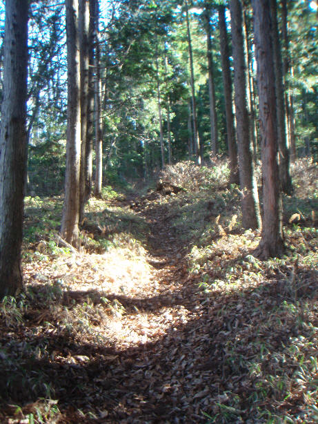
The hike trail is easier to cycle than a lot of the dirt road sections!
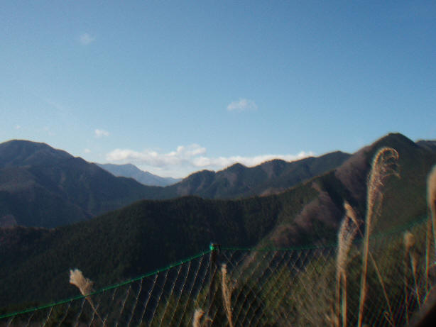
About 200m on the hike trail towards Mt Akaguna, you get good views across
the valley to Mt. Otake
From left the peaks are Otsuka, Hinode, Mitake, Otake, Gozen Yama and Mito-san.
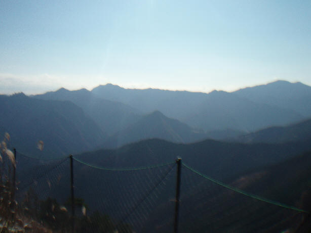
And a good view of the Honnita-Kawanori ridge as well, with Kumotori in the
background.
You soon reach the sign for Mt Akaguna. It's an easy cycle from here to the
top.
There's no view from the top though - just a sign for Mt Akaguna.
And another one pointing down a steep slope to rejoin the main trail farther
down.
You're better off backtracking instead of trying this route on bicycle.
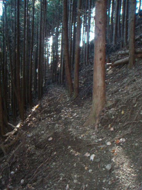
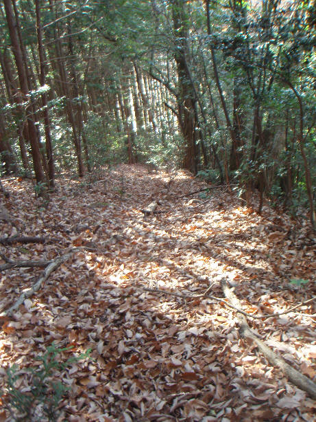
There are many leaves on the trail from late autumn to winter
Here's one of the steeper sections, possible to cycle but you need to be
pretty skillful.
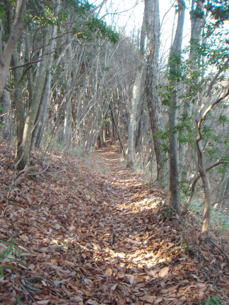
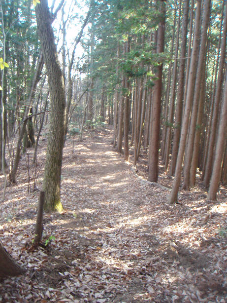
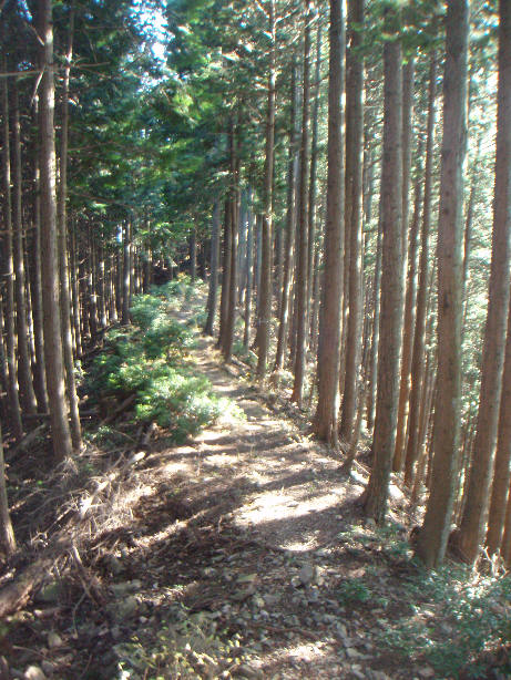
The trail is very good for a while along this section
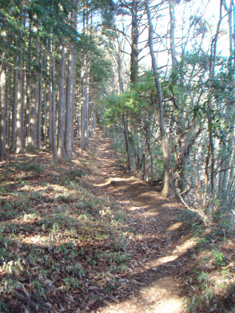
You can see quite far ahead in most sections allowing a good speed if you
wish to take risks.
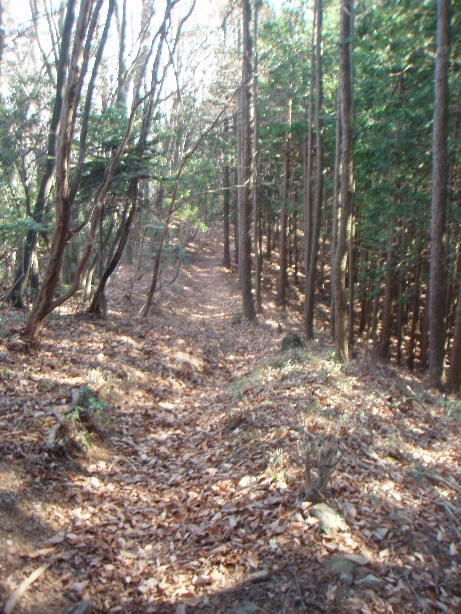
Here's a particularly smooth section
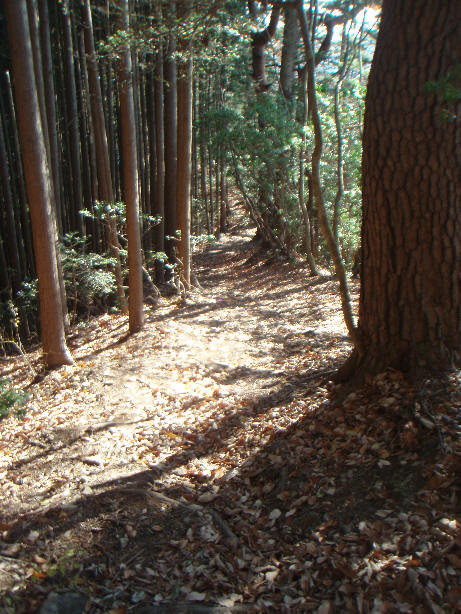
And a rather rough and steep one
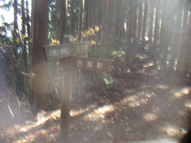
You have a choice to descend on the main route right to Kori or the minor one
to Kawai.
I recommend the Kawai option.
From here there are a few sections where the trail is uneven, sloping to the
left making it a bit dangerous
But it evens up again allowing a smooth ride along a ridge.
Keep left here towards Kawai
There are more steep sections which you will need to walk or slide down
If you stick to the right you can find a trail down by Kori-shogakko.
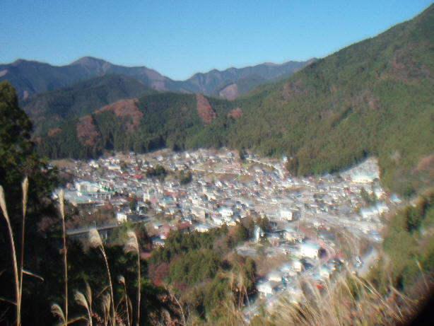
Just above the school there is a great view of Kori with Takanosu (I think!) in
the background.
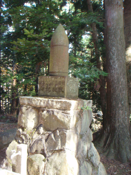
Below the school is a temple with a rather unusual monument
The main route comes out at Hana-Asobi a few meters to the left of the temple
entrance.
The best route down from here is to follow the lane opposite the steps for the
temple.